Falls of Hills Creek
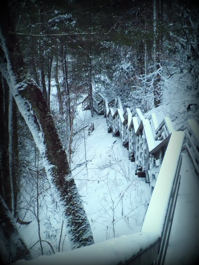
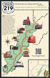
If you’re looking for a relatively short and easy hike in the Monongahela National Forest and you’re near Pocahontas County, a trip to the Falls of Hills Creek is definitely recommended–no matter what season it is! The Falls of Hills Creek trailhead is located on U.S. Route 39, about 15 miles west of U.S. Route 219 at Mill Point. The scenic trail is only 3/4 of a mile long and can take about an hour in and out. There are three falls, and the third and final one is the second highest waterfall in the state. The trail to the first waterfall is paved, but beyond that the trail becomes a bit more strenuous due to the long staircases providing access to the second and third spectacular falls.
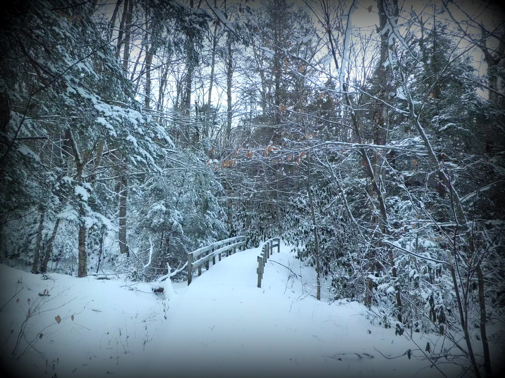
The hike into the Falls of Hills Creek offers a spectacular stroll through inspiring forest scenery in all seasons, including winter! In spring, over 40 different species of wildflowers can be found blooming along this trail.

Towering pines (or spruce?) guard the trail and populate much of the forest throughout West Virginia.

Falls of Hills Creek in 1930. Photo courtesy of the West Virginia and Regional History Collection, WVU.

Hikers at the Falls of Hills Creek, 1962. Photo courtesy of the West Virginia and Regional History Collection, WVU.
Category: Blog, Marlinton to Lewisburg, Stories

